

Self-organisation and a Comprehensive Research Approach: HSE University Geography Students Complete Field Work

Every summer, HSE University students from various programmes have the opportunity to gain experience in their subject under real conditions. Second-year students of the Bachelor’s in Geography of Global Changes and Geoinformation Technology spent 24 days doing practical work in geoinformation technologies and spatial modelling, 17 of which were spent in the field.
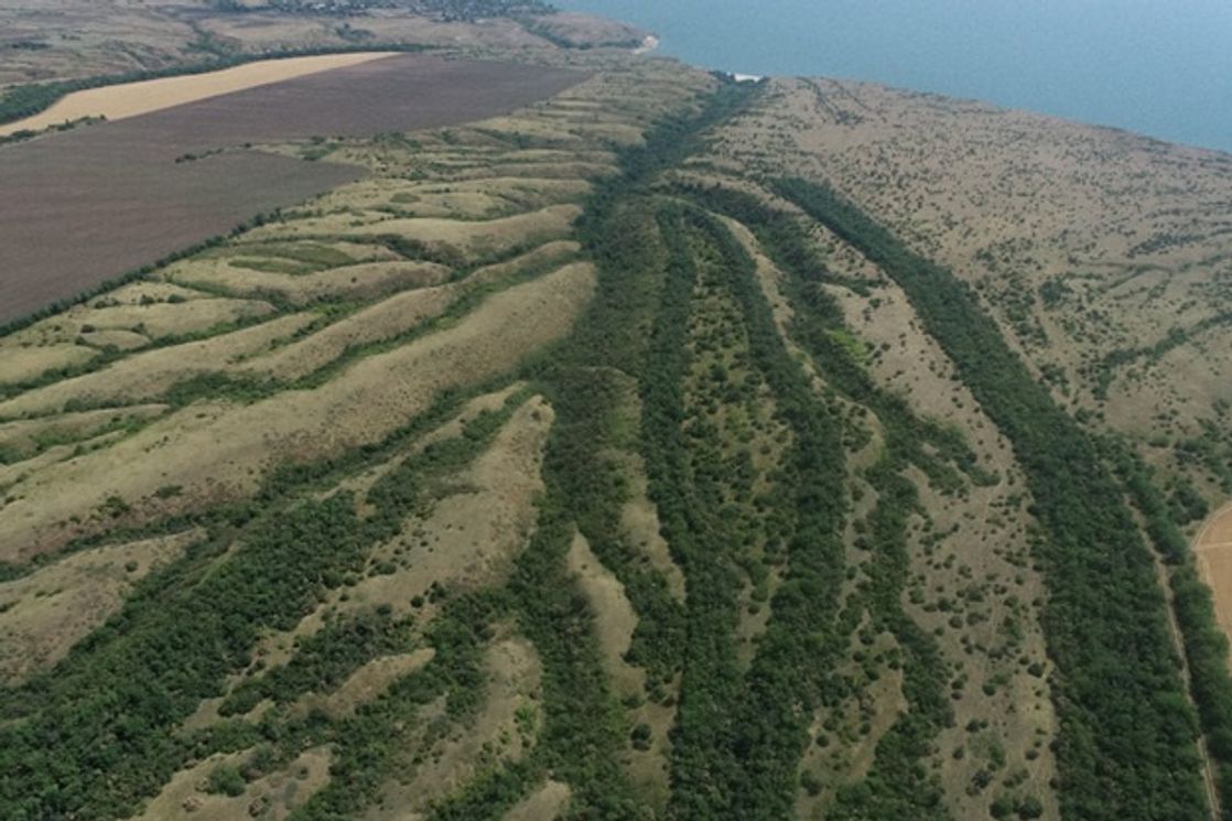
Twelve students of the programme conducted field studies involving spatial and temporal analysis of the rate of natural and anthropogenic processes in a valley in the central and lower Don. The work took place on the right bank of the Tsimlyansk reservoir and in the southeast region of the Archedinsko-Donskiye Peski massif, one of the northernmost deserts in Russia.
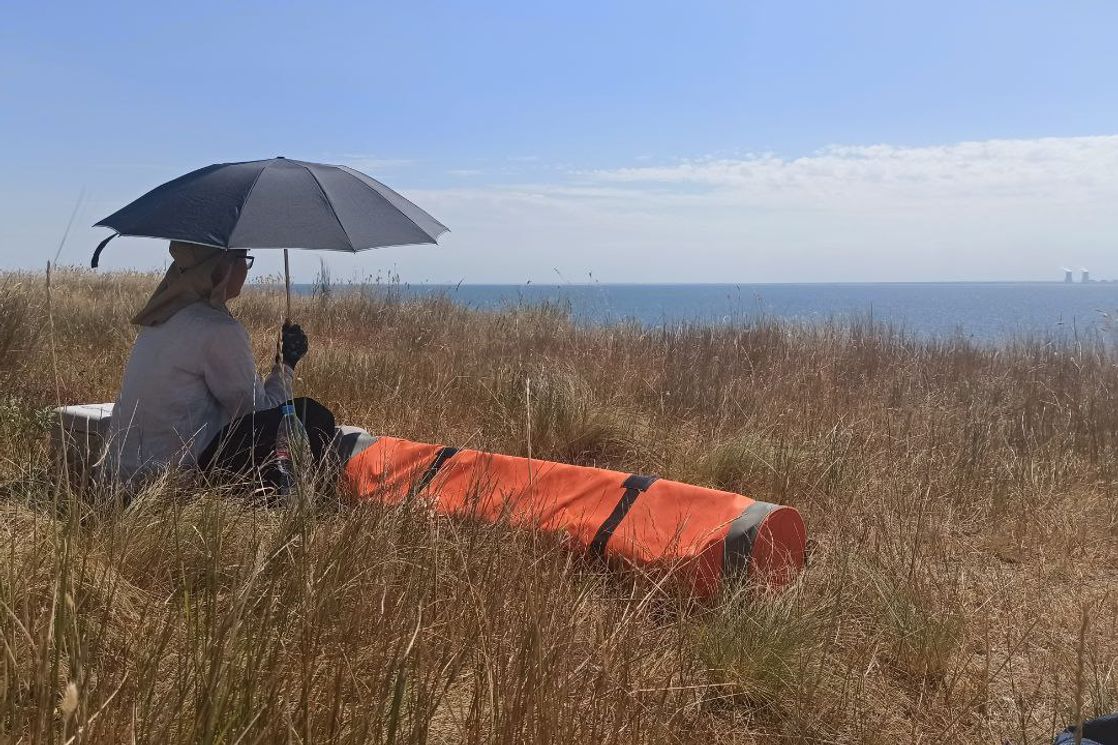
During that time, the students learned new survey methods: drone-based multispectral surveying, surface laser scanning, and ground-based thermal imaging. They also compiled a long-term time series of historical maps and archived aerospace images, as well as learned to identify and interpret changes and create predictive spatial models.
Natalia Telnova, Senior Lecturer of the HSE University Faculty of Geography and Geoinformation Technology, noted the students’ high level of self-organisation and the effective coordination of field and off-site work, both within the specialised sub-teams and the larger group overall.

Natalia Telnova
‘My colleagues and I were impressed by quality and quantity of the results presented, as well as by the students’ comprehensive geographical approach to diverse studies. They managed to achieve all of this through their coordinated efforts. I have very positive memories of my joint research work with my young colleagues. This group is a full-fledged student research community with a genuine love for these research regions and sites and a ceaseless drive for scientific discovery.’
After processing, analysing, and interpreting the data obtained, the students developed the content and format of a series of large-scale thematic maps for all the regions researched. The time series of archived topographical maps and remote-sensing materials prepared during the practical work made it possible to conduct spatial analysis of the intensity of modern aeolian processes and sand fixation of vegetation on the southeast periphery of the Archidensko-Donskoye massif over the last 80 years. They were also able to identify trends in the development of erosion, slope, and coastal processes on the section of the riverbank from Tsimlyansk to Khoroshevskaya station and within the Potaynaya gorge related to the transformation of land-use structure and changes in the level of the Tsimlyansk reservoir since its creation.
‘Before the field stage, we started working on the text and prepared material and data. All of this was useful when working on-site later,’ explains second-year student Oleg Petrov. ‘I liked that we went through the full investigation process for a site we were unfamiliar with. We first familiarised ourselves with it and collected and prepared material. After that, we went to work on-site immediately and conducted surveys with a wide range of equipment. At the same time, we familiarised ourselves with subjects that were already in the field.’ After analysing the materials obtained, the students prepared a report then defended it in Moscow. Throughout this process, they were helped by the teachers who organised the field work. The same teachers also prepared the required materials and consulted with the students for the duration of the practical work. ‘The most important thing we learned was teamwork,’ explains Oleg Petrov. ‘It is a useful skill that is essential when working in the field.’
The students studied the formation process of key sites in the areas, their changes over time and their current condition, and gave their assessments of future changes. ‘Forecasting—especially forecasting with a specific plan of action—is an important aspect and goal of any geographical survey. We only offered our opinions on how the sites examined will change if the current balance between their constituent parts is preserved. We don’t have enough information to come to any concrete conclusions,’ explains second-year student Anastasia Shinkarik. ‘The results of the work and the datasets obtained will make it possible to set up permanent facilities in several observation points. This is an important step in creating and extending the time series necessary to fully forecast and plan human activity in these territories.’
Anastasia Shinkarik made a storymap based on the results of the field practice that showcases the results of the students’ surveys.