

HSE University Launches Master's Programme in Spatial Data and Applied Geoanalytics

HSE University’s Faculty of Geography and Geoinformation Technology is launching a Master’s programme in Spatial Data and Applied Geoanalytics. The first enrolment will take place in 2024. It is aimed at training specialists who are proficient in modern tools for working with geodata and geoanalytics to make high-quality management decisions in business and public administration.
Spatial Data and Applied Geoanalytics is the first Master’s programme in Russia that combines in-depth mastery of the tools of spatial analysis, processing of spatial data and the study of key problems of territorial development for which these tools are used.
Nikolay Kurichev, Dean of the Faculty of Geography and Geoinformation Technology, spoke about the programme in more detail and discussed its features and advantages.

Nikolay Kurichev
— What prompted the idea to create this programme?
— We see a market request in the area. Companies are in dire need of specialists capable of combining technological skills in the field of geoanalytics with specialised expertise and understanding of the territorial problems themselves. And, ideally, with the practice of decision-making in business and public administration.
— Why are professionals with these skills in such demand? And could they be replaced by artificial intelligence?
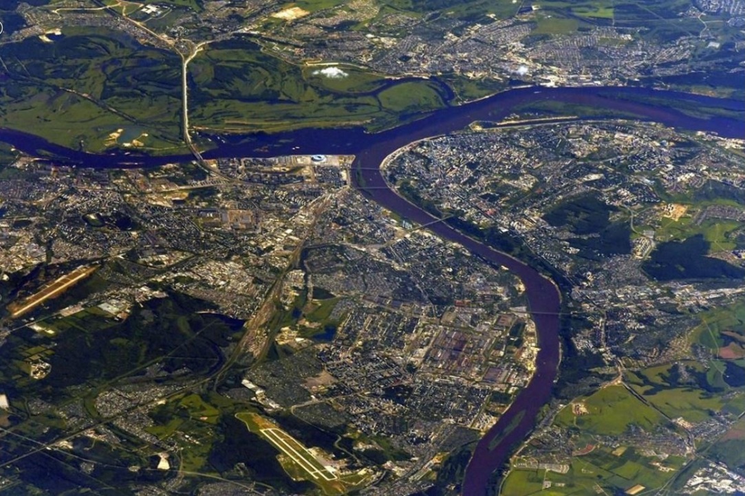
— Rapid progress in the field of geodata opens up new opportunities in both scientific research and applied geographical work. The volume of available satellite imagery data, drone imagery, spatial data, and information from various sensors is growing like an avalanche. Technologies for working with large spatial data are rapidly progressing, primarily various types of machine learning. But the data itself and even the results obtained from work of neural network algorithms are not the final result. This is the ‘raw material’ from which you can extract useful knowledge only if you have the correct task formulation, the ability to verify the result obtained and a deep understanding of the problems, processes and phenomena that you are analysing.
— And there are not enough of these specialists?
— There is now a pronounced gap. On the one hand, there are technical specialists who work with large spatial data, but have little understanding of the agenda regarding spatial solutions for business and territorial development. On the other hand, there are experts in various subject areas of territorial development who know little about the capabilities of modern geoanalytics methods. We want to close this gap.
— Will this allow for more effective solutions to applied and scientific problems?
— Yes, this is a necessary condition, but one more component is needed. Ultimately, the entire spatial data and geoanalytics industry is working to prepare spatial decisions on socio-economic and environmental issues, whether that be decisions of businesses about the location of their facilities or government regulatory decisions. In any case, this requires awareness of everything that happens in the territory. One has to be able to assess economic potential, environmental restrictions, and territorial risks. Most importantly, one needs to understand how the results of spatial analysis can be used to solve problems faced by various types of businesses, governments, and local communities.
— It appears that a modern geoanalytics specialist must not only be able to solve professional problems, but also be open-minded and understand the customer’s needs. How will this be achieved within the programme?
— This is true.
The bottleneck in the promotion of modern geoanalytical methods is not technology as such, but the combination of technology capabilities with customer needs
We need to learn to build this bridge, otherwise the potential of big spatial data and applied artificial intelligence in geography will not be realised. Such specialists must maintain communication between customers and performers in the field of spatial solutions and geoanalytics, speaking to them in languages that are convenient for them.
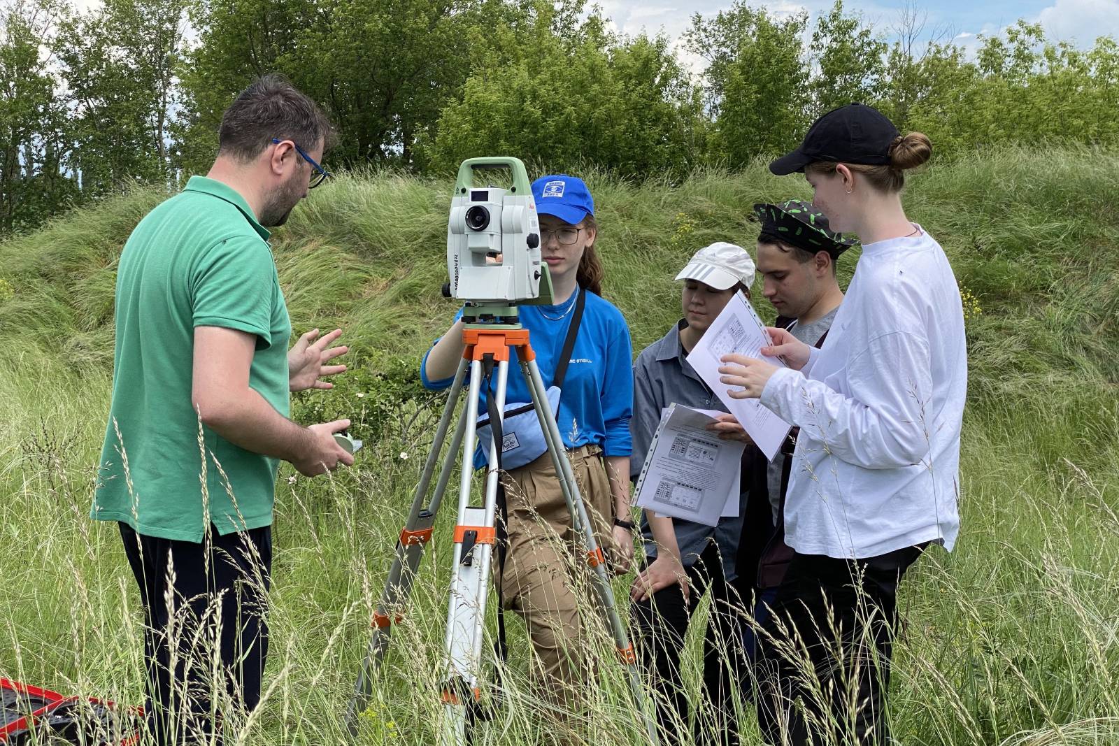
One can only learn this through practice. Therefore, in addition to the basic disciplines of the Major professional block, the programme also includes a key seminar. At the event, mentors will discuss with students all stages of a project in the field of geoanalytics—from identifying user needs to defending the final result and integrating it into decision-making.
And of course, our students will undergo internships and training in companies with which we collaborate. These are the largest Russian banks, retail and specialised technology companies, as well as government agencies.
— Who will teach the programme?
— We invite specialists from analytical departments of large businesses, technology companies, and consulting firms who use geodata for various types of tasks. These are experts in the field of spatial planning, geomarketing, environmental assessment, and geoanalytics technologies themselves. We attract employees from various departments of HSE University who have experience in the field of territorial development and understand technologies for working with spatial data.
— Is it possible to engage in academic research within the programme and after graduation?
— Certainly. Technologies for working with spatial data and geoanalytics can be used for both applied work and research purposes. In modern geographical science, almost all serious research relies on the tools of spatial data science.
We have two trajectories within the programme: the applied and the research trajectory. They are united by common basic disciplines of the Major professional block. The trajectories differ in the composition of the key seminar: in the first one, it is of a project nature, in the second, it is of a research nature. Internships, accordingly, take place either in companies or in research institutes.
Moreover, by 2026, when the first enrolment of master’s students graduate from the programme, we plan to open a doctoral programme within the faculty.
— The programme is interdisciplinary; does it mean that students with different backgrounds can study? What type of applicants are you looking for?
— We are geographers, and therefore it is easiest for us to design a programme for various representatives of geographical specialties.
But we do not limit our audience to geographers. Urbanists, economists, sociologists, and others also approach spatial problems from different angles. Graduates of computer science and applied mathematics programmes, who begin working in a particular industry, often realise at some point that they need systemic knowledge in the subject area in which they plan to further develop. We would also be very glad to see such applicants.
But of course, we expect our applicants to have some basic level of familiarity with geographic information technologies. The portfolio structure for admission specifically includes the item 'Spatial data and algorithms for their processing,’ and we ask applicants to present their work in this area.
— What is the difference between the new programme and the existing master’s programmes?
— In my opinion, there are no full analogues of our programme in Russia. Cartography programmes focus specifically on geographic information technologies. Territorial development programmes, as a rule, focus on urban development and consider mainly economic and managerial aspects of territorial development or environmental issues. Our idea is to train specialists who are proficient in modern tools of geoanalytics and spatial data processing and at the same time able to find an approach to modern problems of territorial development and spatial decision-making. We see this as a competitive advantage of the programme.
See also:

‘The Goal of Modern Geography Is To Digitise Expert Knowledge and Integrate It with Big Data’
The importance of geographical science is increasing, as is the demand for education in this field. Since 2020, application numbers for Bachelor’s programmes at HSE University’s Faculty of Geography and Geoinformation Technology have climbed by 30%, while interest in Master’s programmes has also expanded, with applications up 10–15%. Nikolay Kurichev, Dean of the Faculty, spoke about this at a press conference hosted by MIA Rossiya Segodnya.
Mongolia's Forests Found to Be Poorly Adapted to Climate Change
Compared to meadows and steppes, the montane forest ecosystems in Northern Mongolia display less self-organisation, making them more susceptible to the impacts of climate change. This is the conclusion of a team of researchers led by Robert Sandlerskiy, Head of the International Laboratory of Landscape Ecology of the HSE Faculty of Geography and Geoinformation Technology. The results of the study have been published in a special issue of Entropy.
Student of HSE Lyceum Wins Bronze at European Geography Olympiad
The 8th European Geography Olympiad took place in Serbia at the end of June. The results of the competition were announced individually in two age categories: the senior group (16–19 years old) and the junior group (12–15). The Russian team won three gold, two silver and three bronze medals. One of the bronze medal winners was Danila Gavrilov, student of the HSE Lyceum.
Nikolay Kurichev: ‘We Wanted to Create a Next-Generation Geography Education, and We Succeeded’
The Faculty of Geography and Geoinformation Technology opened at HSE University in 2019, enrolment in the first bachelor’s programme took place in 2020, and the first master’s programme was launched in 2022. Nikolay Kurichev, Dean of the Faculty, describes how the idea to train geographers within the walls of HSE University originated, what results have been achieved, and what difficulties have been encountered over the years.
Middle Volga Experienced Half as Many Droughts in 20th and 21st Centuries as in 19th Century
These were the findings made by researchers of the HSE Faculty of Geography and Geoinformation Technology and the Russian Academy of Sciences Institute of Geography. They studied tree rings of Scots pines for an insight into the region's climatic past and published their results in Dendrochronologia.
‘The “Butterfly Effect” Is no Longer an Abstract Idea, but a Reality that You Constantly Observe’
The bachelor’s programme ‘Geography of Global Changes and Geoinformation Technology’ is offered by the Faculty of Geography and Geoinformation Technology, one of the newest at HSE University. One year ago, Yulia Kuznetsova came on as the programme’s academic supervisor. In this interview for the HSE News Service, Yulia Kuznetsova explains her job duties, where HSE geography students do their field work, and why geography itself can make you happy.
Card Index: Climate Migration
Natural disasters and long-term climate change processes, from rising sea levels to melting glaciers to soil degradation, are causing people to move to safer locations not yet affected by food and water shortages. Recently, climate migration has been on the rise globally due to environmental changes. What territories are more likely than others to experience out-migration, and why? A report co-authored by Associate Professor of the HSE Faculty of Geography and Geoinformation Technology Yulia Kuznetsova offers some ideas.
‘At the First Meeting with the Teachers it Became Clear that the Study Process Would Be Wonderful and Exciting’
In the autumn of 2020, the newest HSE faculty – the Faculty of Geography and Geoinformation Technology – enrolled students for the first time. The students share their impressions of the university after six months of study, as well as the admission process and their interest in geography.
Russian Academy of Sciences Awards Gold Medal to HSE Professor of Geography and Geoinformation Technology
Professor Sergei Semenov, head of ‘Global Changes in the Natural Environment and Climate’ sector, was awarded the chief award of the Russian Academy of Sciences in the field of environmental change.
‘Modern Geography Is a High-Tech Area of Science and Practice’
In cooperation with the Institute of Geography of the Russian Academy of Sciences (RAS), HSE University will now offer a bachelor’s degree in Geography of Global Transformation and Geoinformation Technology. Olga Solomina, the new undergraduate programme’s Academic Supervisor, and Nikolay Kurichev, Dean of the Faculty of Geography and Geoinformation Technology, discuss the programme’s curriculum and the exciting opportunities that await new students.